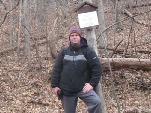
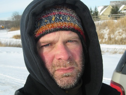
Today we took the dog hiking on the Luce Line Trail. We walked about 5 miles on the trail. The greatest obstacle of this undertaking was the temperature. The temperature was zero when we got started. (FYI:Minnesota tends to be cold in the winter) The temperature eventually warmed up to two degrees. The below pic was taken at the conclusion of the hike, and yes that is ice on my head and face.
Monthly Archives: December 2008
Ice Fishing in Minnesota
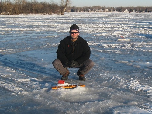
Monday I spent the day ice fishing on Lake Minnetonka. It was cold and windy but we spent most of our time inside our ice house. We caught our limit of croppies today and have a fish fry planned for tomorrow. The snow has started to fall here, 6 inches is forecast for the overnight. The snow just seems to pile up around here. I’m sure we will get back out on the lake later in the week.
Crossing of the Potomac
I was back on the trail Saturday. We started at West Virginia Route 7 and moved North down through the valley, crossing the Shenandoah River, through Harper’s Ferry, and crossing the Potomac River into Maryland. We also hiked 3 miles down the C&O Canal. We finished section 1 of West Virginia and Section 7 of Maryland. We did 9.6 miles today in 3 hours 12 minutes. Re will resume the trail after New Year’s when the weather is expected to be much colder.
Saturday; Back on the Trail
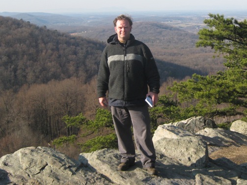
Saturday we continued our trek North on the Appalachian Trail. As always we started where we left off, Virginia Route 7. Today’s hike was 13.5 miles through a very rugged section of the trail. Most of this section is along the ridge separating the Eastern panhandle of West Virginia from Virginia. The weather was clear and cool and provided great views of these mountains. Next week we arrive in Harper’s Ferry, WV.
Welcome to the Roller Coaster
Saturday morning I hiked Virginia Section 3 of the Appalachian Trail. This section of the Trail seesaws in and out of a succession of hollows and over numerous side ridges, making this probably the most difficult section that I plan to hike this winter. This section is often referred to as “The Roller Coaster.” The distance of this hike was 14.1 miles with elevation changes of greater than 600 feet 6 different times. I started at U.S. 50 and hiked North to Va Rt. 7. Next Saturday we make it to West Virginia RT. 9.